What is RTLS? A Beginner’s Guide to Real-Time Locating Systems for Enterprises
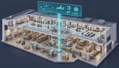
RTLS (Real-Time Locating System) is an indoor positioning technology used to track assets and personnel with high precision. Key technologies include Ultra-Wideband (UWB) for cm-level accuracy and BLE/Wi-Fi for scalable tracking. In 2026, enterprises use RTLS to automate supply chains, enhance hospital workflow, and ensure workplace safety through digital geofencing.
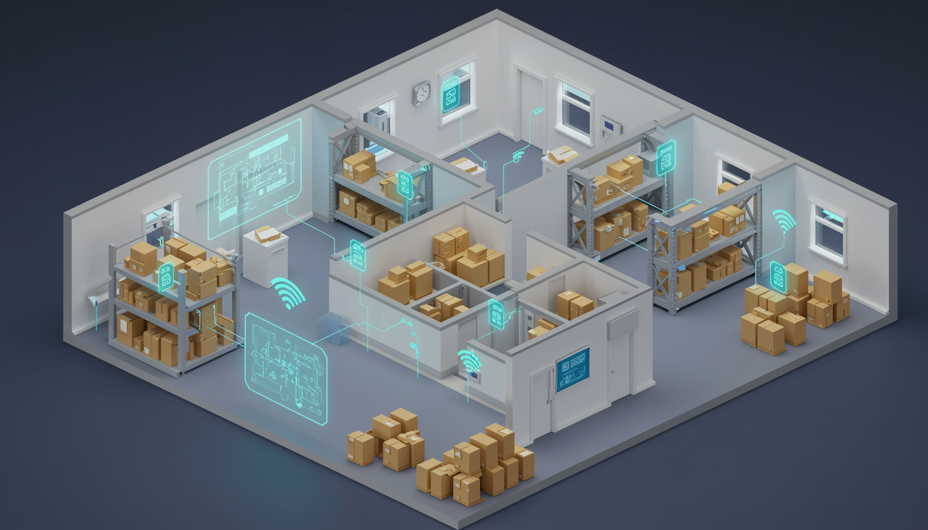
In the modern hyper-automated landscape of 2026, "knowing" where your assets are isn't enough — you need to see them move in real time. Real-Time Locating Systems (RTLS) are the indoor GPS of the enterprise world, transforming physical movement into actionable digital data.
What is a Real-Time Locating System (RTLS)?
An RTLS is a localised network technology used to continuously identify and track the location of objects or people in real time, typically within indoor or confined environments. Unlike GPS, which struggles with satellite signals indoors, RTLS uses radio frequency (RF), ultrasound or infrared signals to provide sub-meter accuracy.
If GPS tells you a truck is at the warehouse, RTLS tells you exactly which pallet that truck is carrying and which shelf it is being placed on.
How RTLS works: the 4 core components
Every enterprise RTLS deployment consists of a standard technology stack designed to bridge the gap between physical location and digital analytics:
Transmitters (tags / badges)
Small, battery-powered devices attached to assets — forklifts, medical pumps — or worn by personnel.
Receivers (anchors / sensors)
Fixed devices installed throughout a facility that "listen" for signals from the tags.
Positioning engine (middleware)
The brain of the system. It uses algorithms like Time Difference of Arrival (TDOA) or Angle of Arrival (AoA) to calculate coordinates.
Application software
The user interface where managers view live maps, run reports and set geofences.
Top enterprise use cases
In 2026, RTLS has evolved from a nice-to-have tracking tool to a critical layer of Industry 4.0 and Digital Twin initiatives.
1. Healthcare: clinical-grade visibility
Hospitals use RTLS to track mobile medical equipment such as ventilators, monitor patient flow and ensure staff safety via panic-button badges. By 2026, nearly 25% of U.S. healthcare facilities have adopted RTLS to reduce search time by up to 75%.
2. Manufacturing & logistics
RTLS enables Work-in-Process (WIP) tracking. It automatically logs when a car chassis moves from "Paint" to "Assembly", triggering the next step in the ERP system without manual scanning.
3. Safety & emergency mustering
In the event of an evacuation, RTLS provides a digital roll call — instantly identifying which employees are still inside a danger zone and their exact room-level coordinates for first responders.
Why enterprises are investing in 2026
The global RTLS market is projected to reach $8.83 billion in 2026, growing at a CAGR of 23.9%. This surge is driven by:
- Labour efficiency: reducing the 20% of worker time typically spent searching for misplaced tools.
- Hyper-automation: feeding real-time location data into AI models to predict supply-chain bottlenecks before they happen.
- Loss prevention: drastically reducing shrinkage of high-value assets.